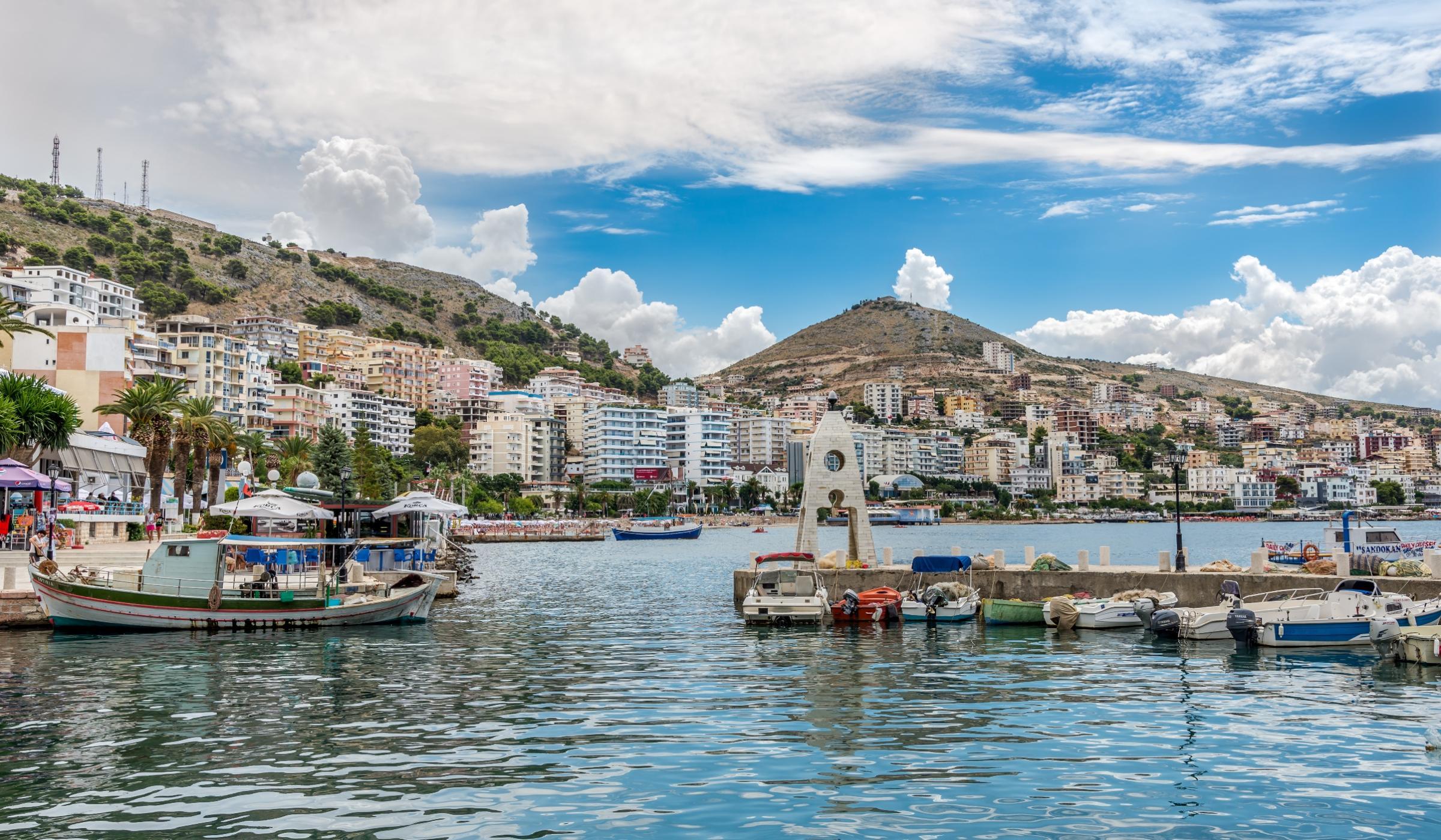
Description
Sarandë is a coastal town in Albania. Geographically, it is situated on an open sea gulf of the Ionian Sea in the central Mediterranean, about 14 km (8.7 mi) east of the northern end of the island of Corfu. Stretching along the Albanian Ionian Sea Coast, Saranda typically has over 300 sunny days a year.
The city is known for its blue deep waters of the Mediterranean. Near Sarandë are the remains of the ancient city of Butrint, a UNESCO World Heritage site. In recent years, Saranda has seen a steady increase in tourists, many of them coming by cruise ship. Visitors are attracted by the natural environment of Saranda and its archaeological sites.
The district of Saranda lies in the most southern extremity of Albania. It is bordered with Vlora to the north, Delvina and Gjirokastër to the east and with Greece to the south of Ionian Sea. Saranda is a place in the most southern part of Albania. It lies between the hills that descend and reach the Ionian Sea. The district of Saranda has a plain relief which is composed of southern seashore mountains that lie from Borsh to the bay of Ftelia, Vrina Fields and the hills of Saranda, Lëkurësi, Ksamil, Butrint and Konispol. All these units make up the southern part of the Albanian Riviera where the eye catches the countless bays, beaches, the rocky coastline, hills with olives and citrus, mountains that surround the landscape. Saranda is traversed by Kalasa, Bistrica and Pavlla rivers which flow in the Ionian Sea. In Saranda’s hydrograph belongs even Butrinti Lake which is one of the biggest sea lakes in Albania. The Butrint Lake is very rich in sea species and in their waters now are being growing mussels. Its relief, geographical location and subtropical climate create favorable conditions for planting citrus trees and olives.
The present municipality was formed at the 2015 local government reform by the merger of the former municipalities Ksamil and Sarandë, that became municipal units. The seat of the municipality is the town Sarandë.


